Location
Above the city,below the peaks
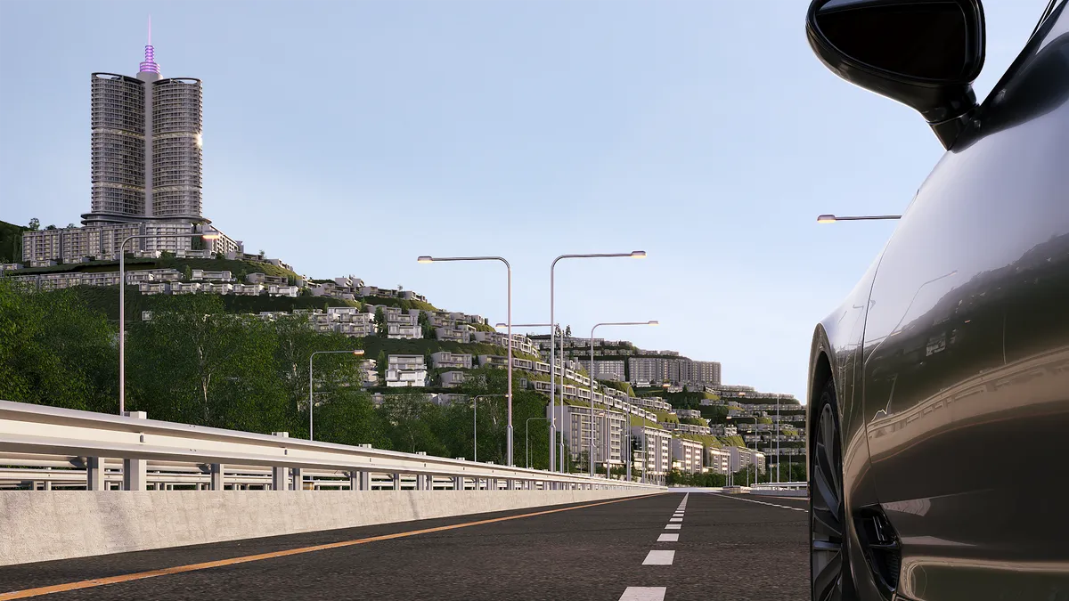
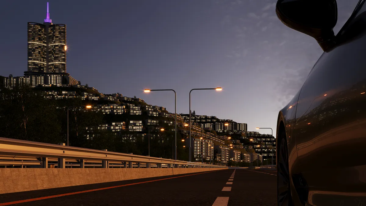
On the Azmar mountain road in the Dabashan area of Sulaymaniyah, opposite Hawari Shar Park — with Goizha and Azmar behind and the whole city in front.
Distances
Close to everything,far from the noise
≈ 10 min
City centreTo confirm
Salim Street & the bazaar
Opposite
Hawari Shar Park
One of the largest parks in the region
≈ 25 min
Sulaimaniyah Int’l AirportTo confirm
14 km west of the city
≈ 12 min
Grand Millennium HotelTo confirm
Tallest hotel in Iraq
1,426 m
Goizha mountain
Summit behind the site
≈ 189 km
ErbilTo confirm
About 2.5 hours by road
Map
Azmar mountain road,Dabashan
Turn off the Azmar road opposite Hawari Shar Park; the main gate is on the left. The sales office sits at the group’s head office inside the community.
SLEMANI HILLS
35.592° N · 45.462° ETo confirm
AZMAR
GOIZHA
HAWARI SHAR PARK
SULAYMANIYAH ↘
The interactive map loads from OpenStreetMap only when you ask for it. Map data © OpenStreetMap contributors.
Surroundings
Three mountainsand a city
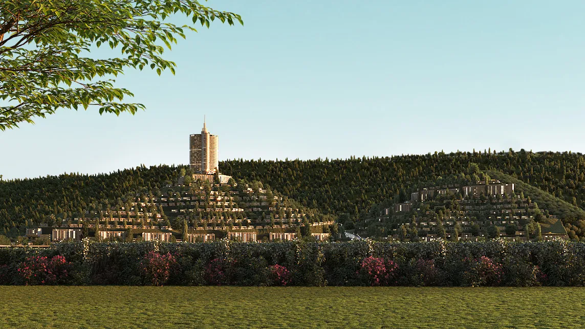
Azmar
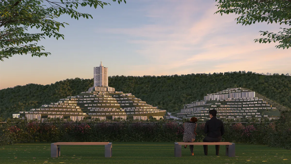
The ridge that shelters the site from the north; its road is the address of Slemani Hills and the route to the mountain picnic grounds.
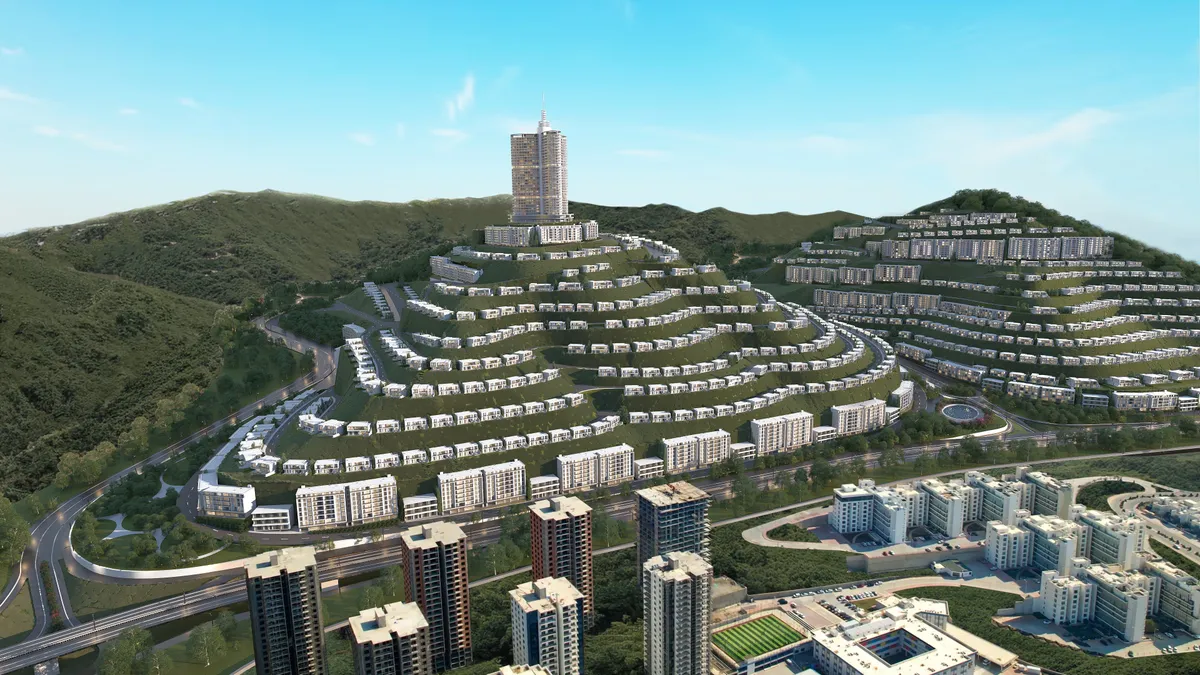
Goizha
Rising to 1,426 m directly behind the hill, Goizha is the peak above Slemani — the backdrop to every terrace.
Qaiwan mountain
The third of the north-eastern ridges that ring the city, and the namesake of the group that built the community.
The city
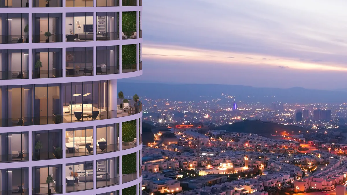
Sulaymaniyah sits at 882 m, founded in 1784 — the cultural capital of the region, with its museums, bazaar and cafés ten minutes away.